A trio of stations has taken shape on three islands at the far corners of our continent, ready to pick up distress calls via satellite from all across Europe and its surrounding waters.
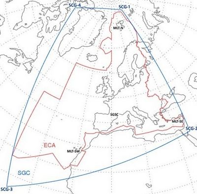
The ground network for Galileo’s search and rescue service has now passed a major exam, coming a step closer to saving lives. These stations sit on Spitsbergen in the Norwegian Arctic, Maspalomas on the largest island of Spain’s Canary Islands, and Larnaca on the island nation of Cyprus, forming a triangle enclosing Europe. The three are coordinated and overseen from a control centre in Toulouse, France.
Each site is equipped with four antennas to detect distress calls relayed via satellites in medium-altitude orbits, so far including 14 GPS satellites, two European Galileos and one Russian Glonass.
The three stations are interlinked to operate jointly, so that all 12 antennas can track satellites together. A summer of testing has confirmed the heightened efficiency of this approach.
“This new search and rescue infrastructure, designed by ESA and financed by the EU as part of Galileo, is our contribution to the Cospas–Sarsat system, the world’s oldest and largest satellite-aided rescue system,” explains ESA’s Fermin Alvarez Lopez.

Extending Europe’s search and rescue cover
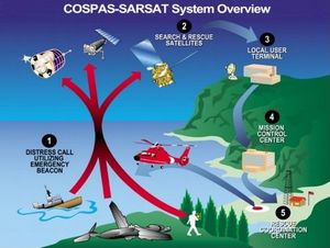
Founded by Canada, France, the USSR and the US, Cospas–Sarsat is a global satellite system for rapidly detecting distress calls to be forwarded to local search and rescue authorities. Since its creation in 1979, it has helped to rescue more than 35 000 people.–Sarsat systemCospas–Sarsat distress beacons can be bought off the shelf, then activated by anyone in distress on land, in the air or on the sea. Satellite repeaters pick up and amplify the beacon signals, then transmit them down to ground stations.

Cospas–Sarsat system

